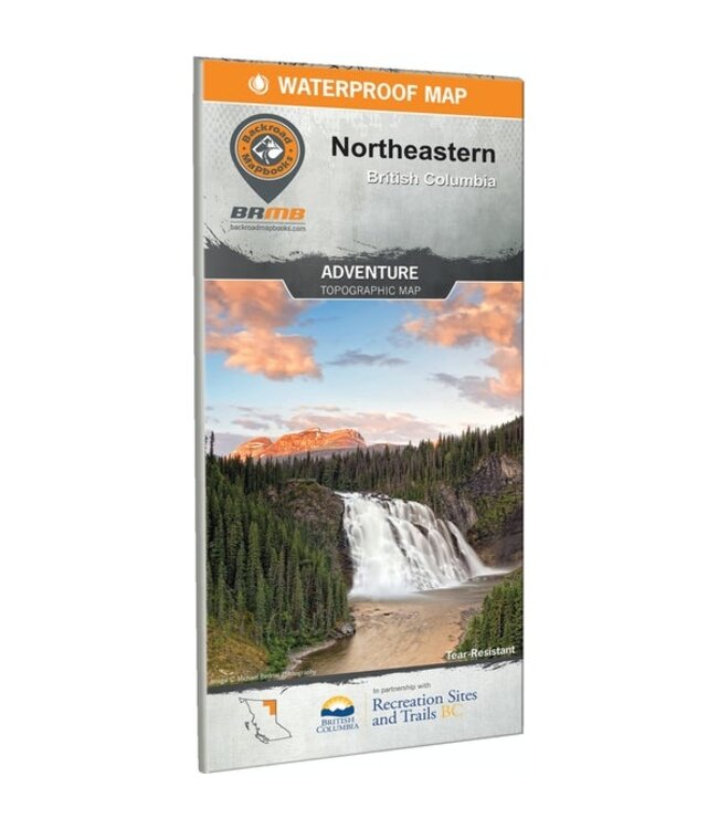
Covers notable recreation areas around Tumbler Ridge, Mackenzie, Williston Lake, Dawson Creek, Fort Nelson, and Fort St. John, with an inset of Liard River and Muncho Lake. Symbols mark wilderness campsites, paddling routes, and trail systems. Great for exploring the waterfalls at Monkman Provincial Park and the legendary Kinuseo Falls, the Northern Rocky Mountains Provincial Park, Gwillim Lake Provincial Park, and all the backcountry in between. Map is at a scale of 1:340,000 with topographic and relief shading for easy readability.
_x000D_