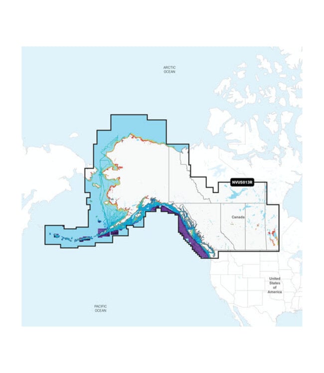
The Garmin Navionics Vision+ Canada, West & Alaska chart is a comprehensive navigation tool designed to enhance your marine and inland waterway experiences. This product offers detailed maps of lakes, rivers, and coastal areas, providing essential information for safe and efficient navigation. With a one-year subscription included, you can ensure your maps are always up-to-date with the latest data.
Garmin's advanced charting technology delivers high-resolution imagery, allowing you to visualize depth contours and underwater structures with clarity. Whether you're a recreational boater or a professional mariner, these charts offer unparalleled detail and accuracy.